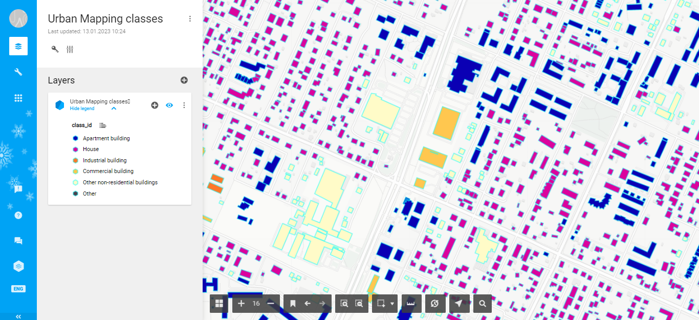
Urban Mapping classes
Reference
CLASS_ID
CLASS NAME
DESCRIPTION
OSM refereral tag
101
Apartment building
Roof footprints of the multistorey apartment buildings
building=yes building=residential building=appartments
102
House
Mostly private houses (usually represents a single household)
building=house building=residential
103
Industrial building
Mostly industrial (Plants, large hangars, warehouses, etc.)
building=industrial
104
Commercial building
Offices, retail, etc.
building=commercial
105
Other non-residential buildings
Garages, transformer boxes, small hangars, etc.
Urban Mapping visualization with ArcGIS Online, Carto, and EverGIS online
Mapflow Web easily processes imagery and extracts vector objects that can be downloaded in GeoJSON format. We recommend using GeoJSON since it is a de-facto standard in web mapping. It is natively supported by web mapping frameworks (e.g. Leaflet or Mapbox) and GIS software like QGIS or the ArcGIS Suite.
Note
GeoJSON is an open standard format designed for representing simple geographical features, along with their non-spatial attributes. It is based on the JSON format. The features include points, linestrings (Mapflow roads), polygons (Mapflow buildings footprints, forest and field masks), or multi-part collections of these types. Mapflow allows different options for actions with processing results stored in GeoJSON. You are able to download or “Open with geojson.io”.
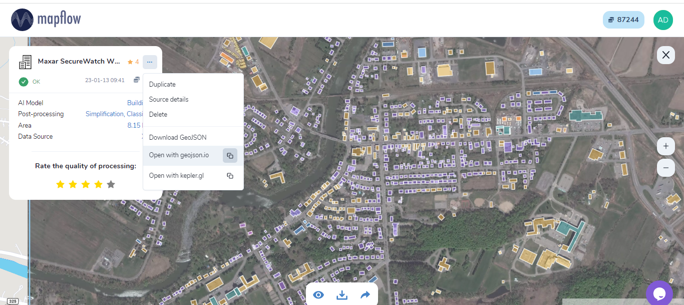
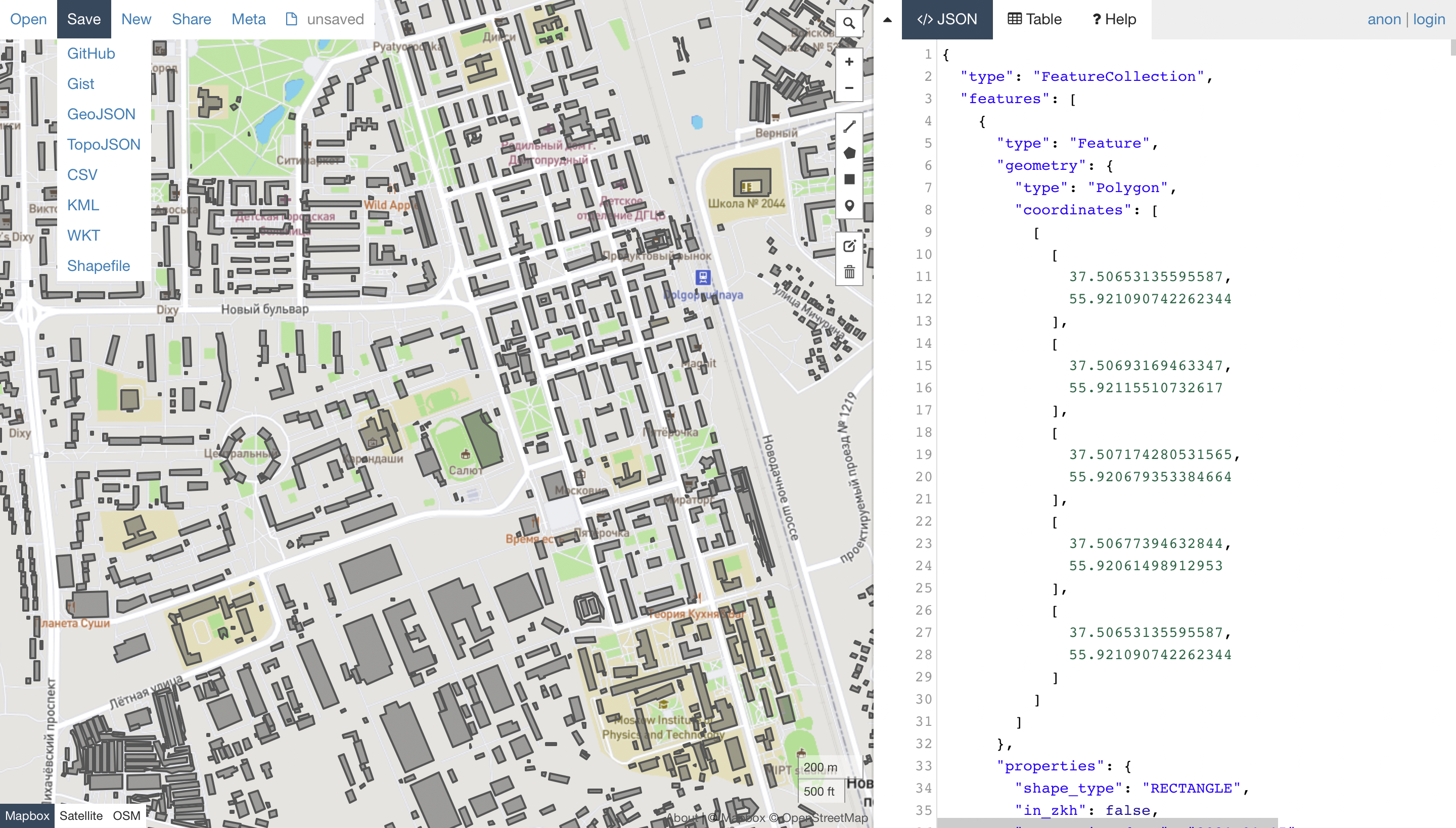
Open with geojson.io
Note
Geojson.io allows you to view and save the results in a different format (CSV, KML, TopoJSON, WKT, Shapefile). Click “Save” and select the format in the menu bar.
Using GeoJSON allows you to use only drag&drop to visualize Mapflow output results in numerous Web-GIS without converting data formats. See this video about how to upload and style a building classification results with ArcGIS online, Carto, and Evergis online.
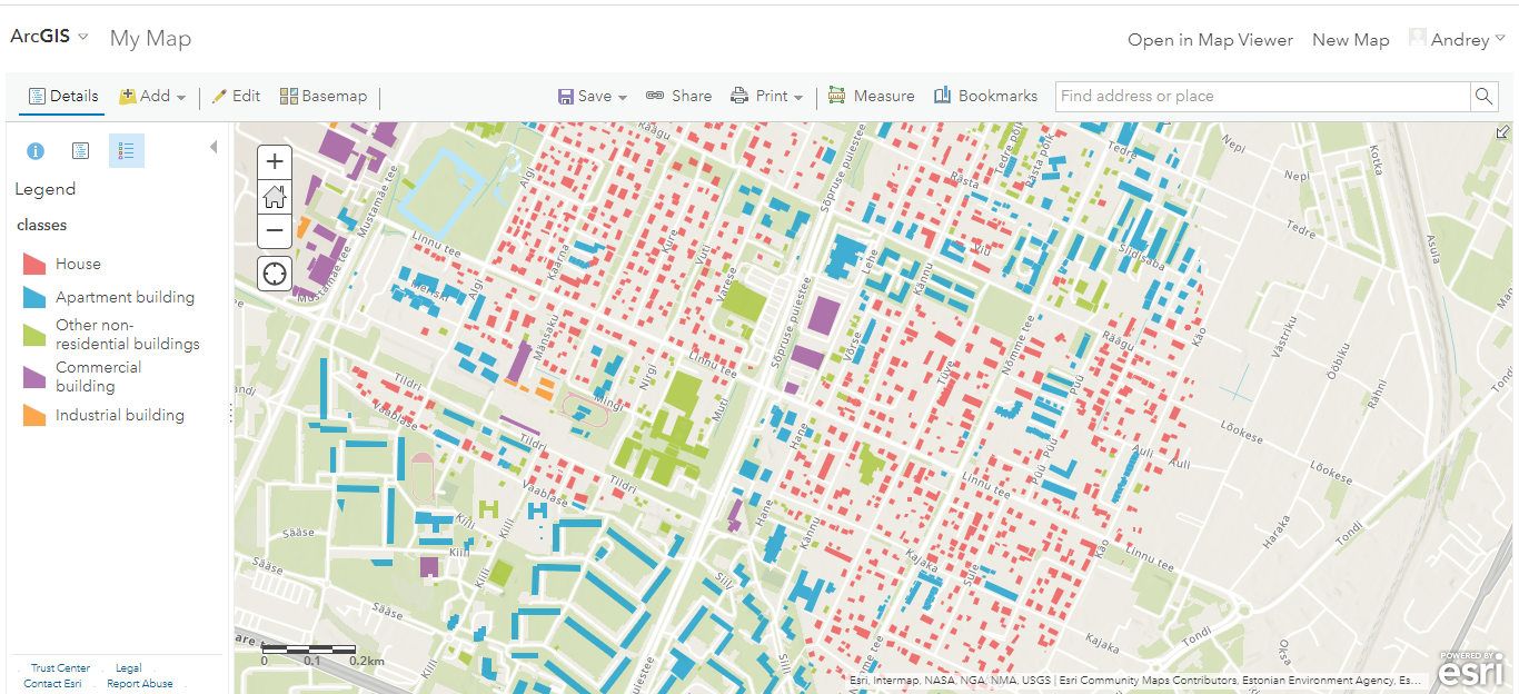
Urban Mapping classes in ArcGIS online
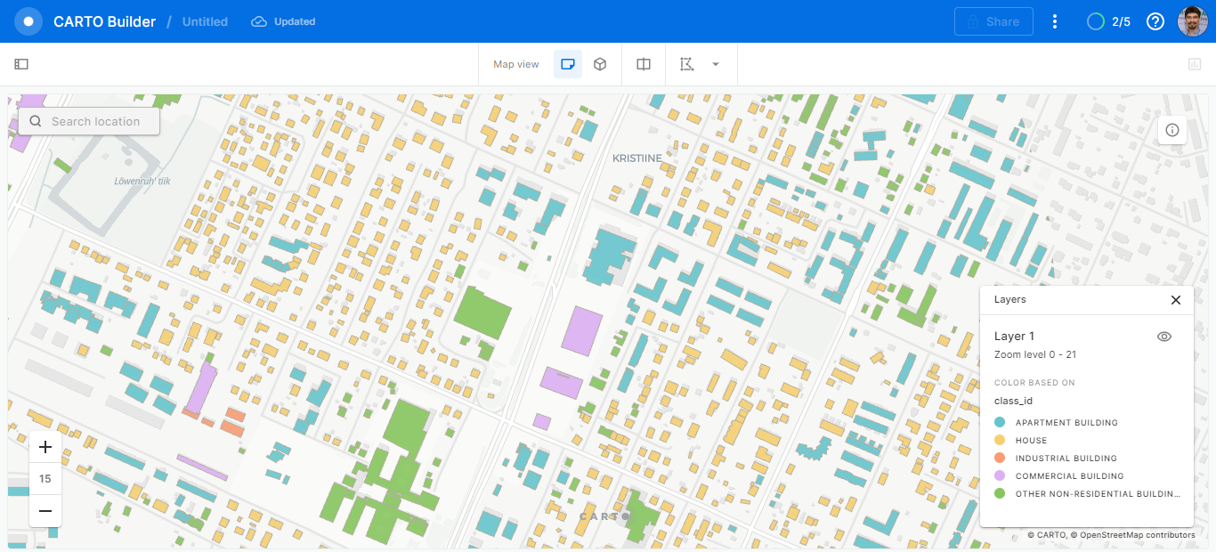
Urban Mapping classes in Carto
Urban Mapping classes in Evergis Online