Buildings + Roads + Forest
Basemaps Default model
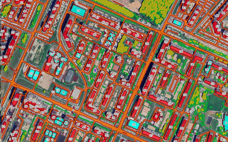
Example result: buildings, roads and forest from one run.
Cost
23 credits per km² + imagery
Example: 10 km² on Mapbox zoom 19 ≈ 320 credits.
Runs the Buildings, Roads and Forest models as one workflow and returns a single topology-corrected result, so the layers do not overlap. It costs less than running the three models one by one.
What you get
Buildings, roads and forest from one run, as separate styled layers.
Works best with
0.6–0.3 m imagery (zoom 19).
Usage examples
Start a base map where no vector data exists
Get a land-use overview before a site visit
Create a reference layer for disaster response
- Method
Buildings, Roads and Forest + topology correction
- GSD / zoom
0.6–0.3 m / z19
Options
The combined workflow takes the options of its models. See pricing for option costs.
Sample results
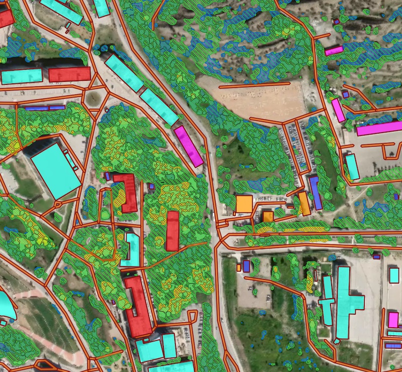
Buildings, roads and forest from one run
Need a different object?
We train custom models on your imagery and classes, and connect them to your Mapflow account.