Open Data
Basemaps No AI model
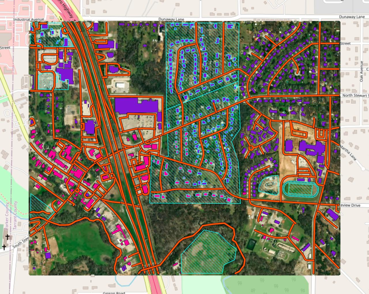
Example result: OpenStreetMap and Overture layers for the area.
Cost
Shown before you run
No AI model is used. You still pick imagery as a visual reference.
Downloads the classes you choose from OpenStreetMap and Overture Maps for your area, so you can check coverage before running AI, or fill gaps after.
What you get
Vector layers for each class you select.
Works best with
Any area. Quality depends on how complete open data is there, and it may not line up exactly with the imagery.
Usage examples
Check OSM completeness before paying for AI mapping
Combine open data with AI results
Add context layers to a project in one step
- Method
No AI model: OpenStreetMap + Overture Maps
How to run it
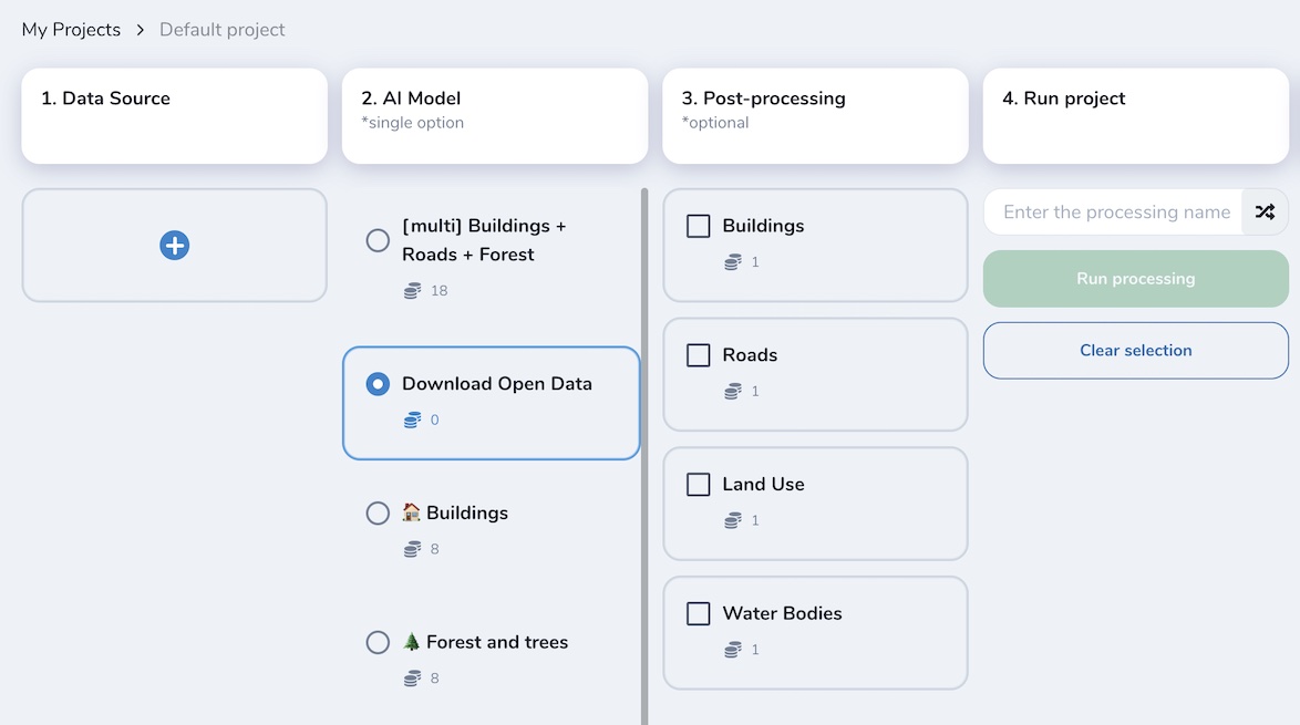
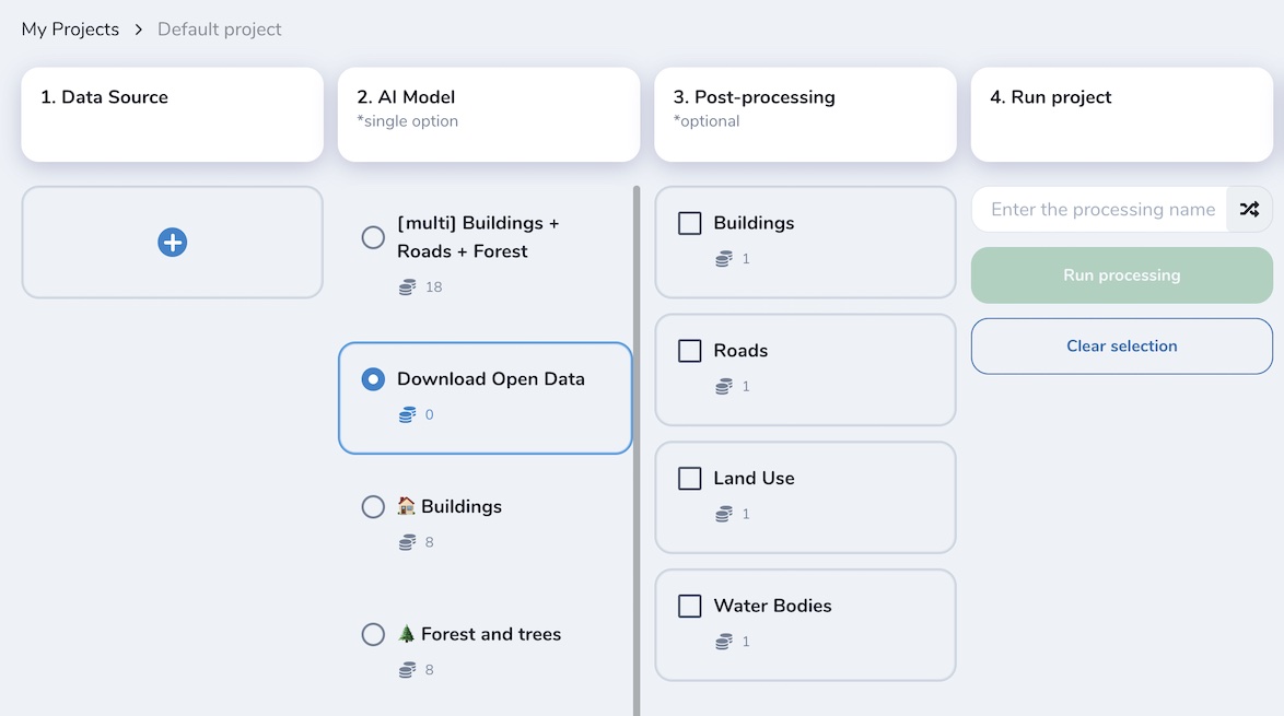
Select one or more classes and run the workflow. You select an image source the same way as for AI-mapping models. The image is only a visual reference, so you can decide whether the data needs edits or a Mapflow model run to complete it.
Warning
Results depend on how complete open mapping data is in your area. The data comes from an external source, so it may not line up exactly with the image. Use it alongside AI-mapping results as a complementary source.
Need a different object?
We train custom models on your imagery and classes, and connect them to your Mapflow account.