Agriculture fields
Crop fields On request
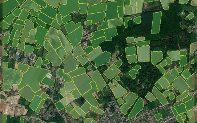
Example result: field boundaries in Belgium.
Cost
Priced per project
Request access and we connect the model to your account.
Detects agricultural fields and separates neighbouring fields where a visible boundary exists. Tuned for larger fields in Europe with active vegetation; small and terraced fields are harder.
What you get
Field boundary polygons.
Works best with
1–1.2 m imagery in the growing season.
Usage examples
Build field boundaries for farm management
Estimate cultivated area per region
Prepare parcels for crop monitoring
- Geo domain
Europe
- Method
Segmentation
- GSD / zoom
1.2–1 m
Note
This model is no longer a default model. It is available on request.
How it works
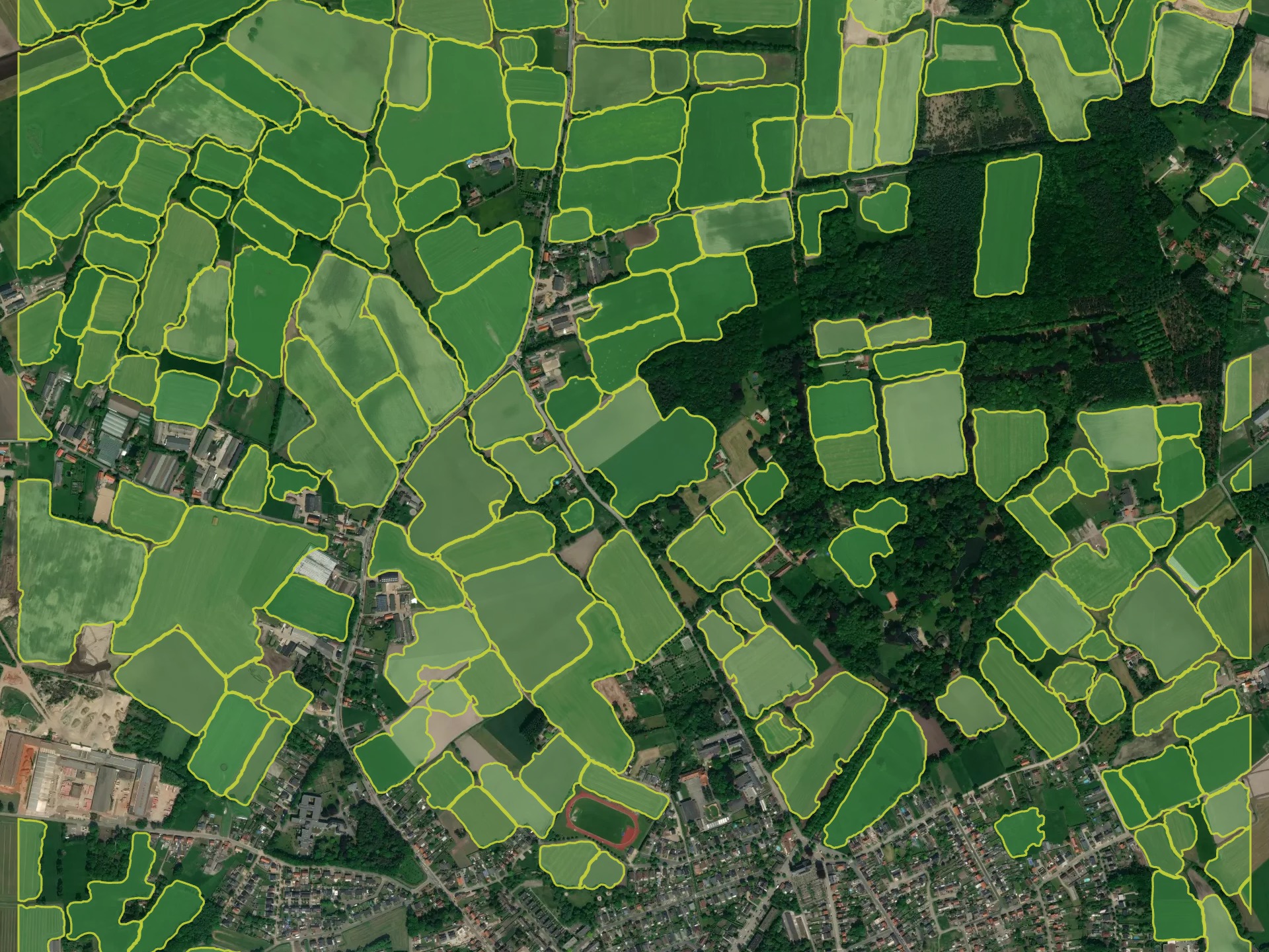
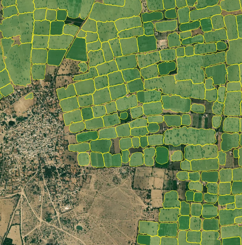
The model detects agricultural fields and separates neighbouring fields where there is a visible boundary: a forest line, a road or a different crop stage. It is trained on 1–1.2 m imagery, mostly of Europe and Russia, and works best on larger fields with active vegetation. Small and terraced fields, typical for Asia, are delineated less well. Fields without vegetation, especially in winter, are not the target class.
Sample results
Need a different object?
We train custom models on your imagery and classes, and connect them to your Mapflow account.