High-density housing
Buildings On request
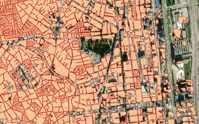
Example result: dense blocks split into houses (Tunisia).
Cost
Priced per project
Request access and we connect the model to your account.
Segments dense building blocks as a whole, then divides each block into individual houses from roof markers, using a grid or Voronoi split. Built for terraced and densely built areas common in the Middle East and parts of Africa.
What you get
Individual house polygons within dense blocks.
Works best with
High-resolution imagery of terraced or densely built areas.
Usage examples
Count dwellings in dense urban areas
Support census and address mapping
Plan services in informal settlements
- Geo domain
Middle East, Africa
- Method
Instance segmentation + block split
Note
This model is no longer a default model. It is available on request.
How it works
Like the regular Buildings model, this model detects building roofs. It first segments building blocks as a whole, then tries to split each block into individual houses from roof markers, with a rectangular grid or a Voronoi diagram.
Sample results
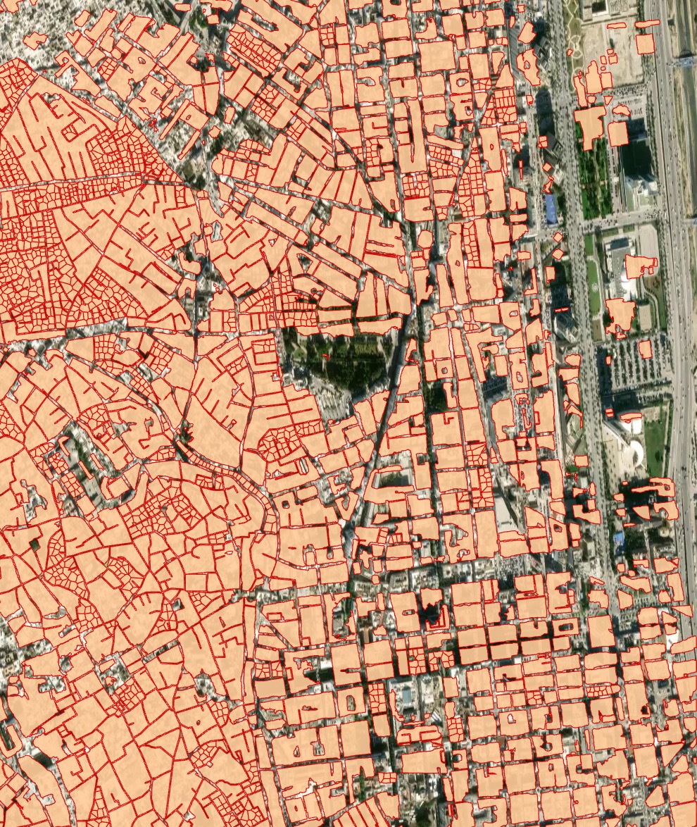
Dense urban development (Tunisia): instance segmentation and grid post-processing
Need a different object?
We train custom models on your imagery and classes, and connect them to your Mapflow account.