Constructions
Other objects On request
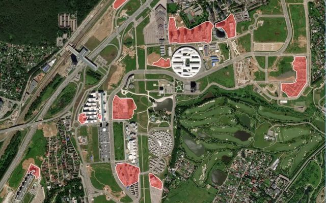
Example result: construction sites in a fast-developing area.
Cost
Priced per project
Request access and we connect the model to your account.
Outlines areas that contain construction sites and buildings under construction. Available for selected countries; coverage is growing.
What you get
Construction site polygons.
Works best with
0.6–0.3 m satellite imagery (zoom 18) of fast-developing areas.
Usage examples
Track new development for permits and taxes
Monitor progress on large projects
Flag unplanned construction
- Geo domain
Selected countries
- Method
Segmentation
- GSD / zoom
0.6–0.3 m / z18
Sample results
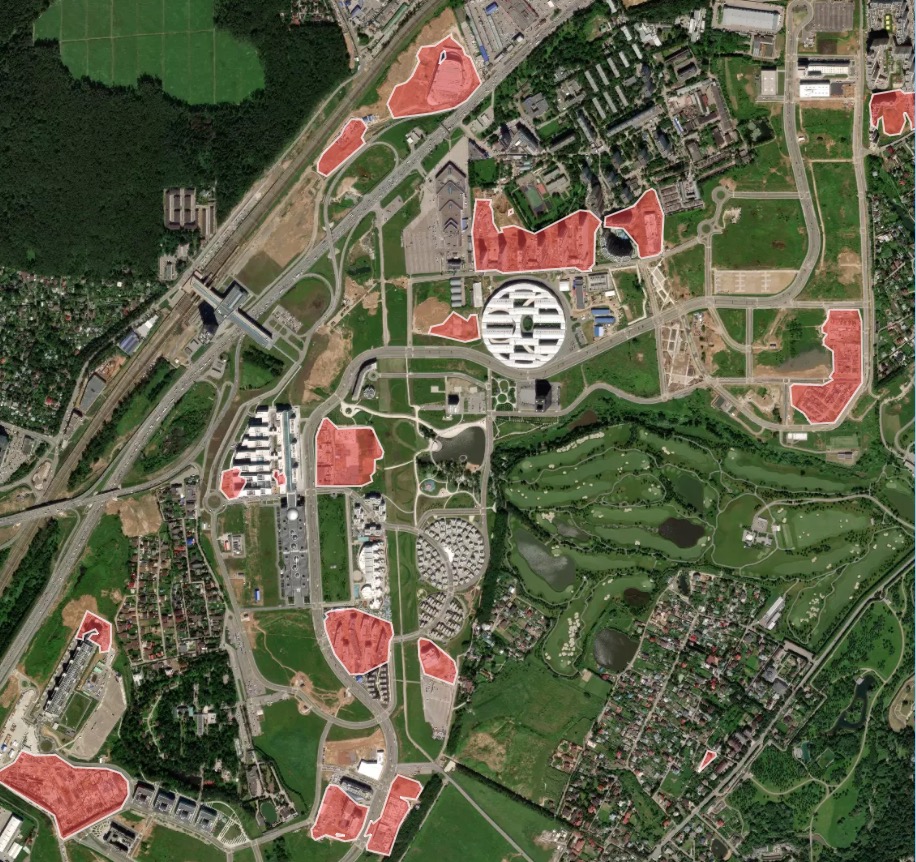
A rapidly developing area with construction sites
Need a different object?
We train custom models on your imagery and classes, and connect them to your Mapflow account.